 View larger
Exploring Earth: Rising Sea
New activity
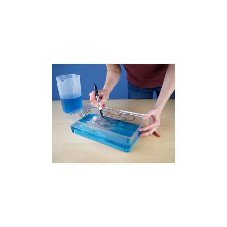
This hands-on activity demonstrates ways to use topographical mapping techniques to track changes in the sea level
Open Activity
How-to Video
- Write a review
Related Programming Resources
| Hints for uses in your library | This activity would pair great with "Catch! The World's Oceans" |
| Related Links |
Content training
NOAA Global Ocean Satellite NASA Images of Change Clay Topo Map Activity |
| Originating Source | National Informal STEM Education Network |
| Related Books | Suggest a book |


