Sort
Earth There are 103 items.
Earth Science activities for all ages and knowledge levels.0
-
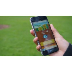
Globe Observer: Trees
Tree height is a primary indicator of how well an ecosystem can grow trees. This citizen science toolkit of resources and activities will support your library in collecting data to help scientists learn more about the ecosystems in your community. 0
Check It Out
-
Exploring Earth: Paper Mountains
This hands-on activity uses crumpled paper, marker ink, and water to demonstrate how the shape of the land and the pull of gravity influence how water moves over the Earth. 0
Check It Out
How-to Video -
Exploring Earth: Land Cover
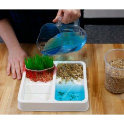
This hands-on activity models some of the ways natural processes, such as erosion and sediment pollution, affect Earth's landscape. 0
Check It Out
How-to Video -
What's in the Water
Patrons compare two water samples and use tools to take data and explore what compounds are found in the samples. 0
Check It Out
How-to Video -
Buy It, Or Better Not?
In this conversational activity, patrons compare different household products that contain nanoparticles in their ingredients and discuss the risks and benefits of each product. 0
Check It Out
How-to Video -
Shine - Mini Climate Change Musical
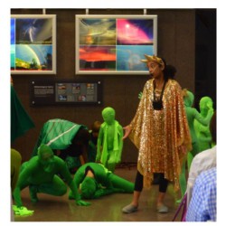
This climate change musical weaves together climate science and performance art into a fun and powerful story, which spans 300 million years of geological time to convey how humanity, energy, and climate are interrelated. 0
Check It Out
How-to Video Teacher's Guide Provides classroom connections, key concepts, connections to science standards, and additional resources. -
Have the Talk: Climate Conversations
In this learning activity participants practice having conversations about climate change with adults or peers. The activity is based on psychological and social science research. 0
Check It Out
How-to Video -
Fermentation in a Bag
In this simple experiment, patrons investigate the process of fermentation in ziplock bags with bakers yeast, warm water, and various sources of plant sugar. 0
Check It Out
How-to Video -
Make a Planet Mask!
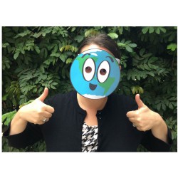
Patrons learn about the eight planets in our solar system and create a wearable mask of Earth. 0
Check It Out
How-to Video -
Make a Stained Glass Earth!
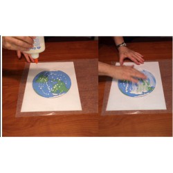
Patrons use wax paper and colorful tissue paper to create a "stained glass" Earth. 0
Check It Out
-
Make a Fan with Earth's Layers
Patrons learn about what's under Earth's crust by creating a fan with colors that represent the four layers of Earth. 0
Check It Out
-
Make a Topographic Map
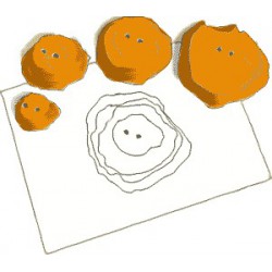
A topographic map, or "topo map," is a way to show mountains and valleys on a flat piece of paper. In this hands-on activity, patrons build their own mountain out of Play-Doh and create a topo graph of it! 0
Check It Out


